

From a community master plan to an aerial render buyers understand
Drop in the residential site plan — CAD, redline, or colored master plan — and get a professional aerial rendering that shows blocks, streets, and open space the way a homebuyer or review board actually reads them.

A master plan in. An aerial render out.
The point of this page — a flat community plan becomes an aerial view that shows the neighborhood at a glance.
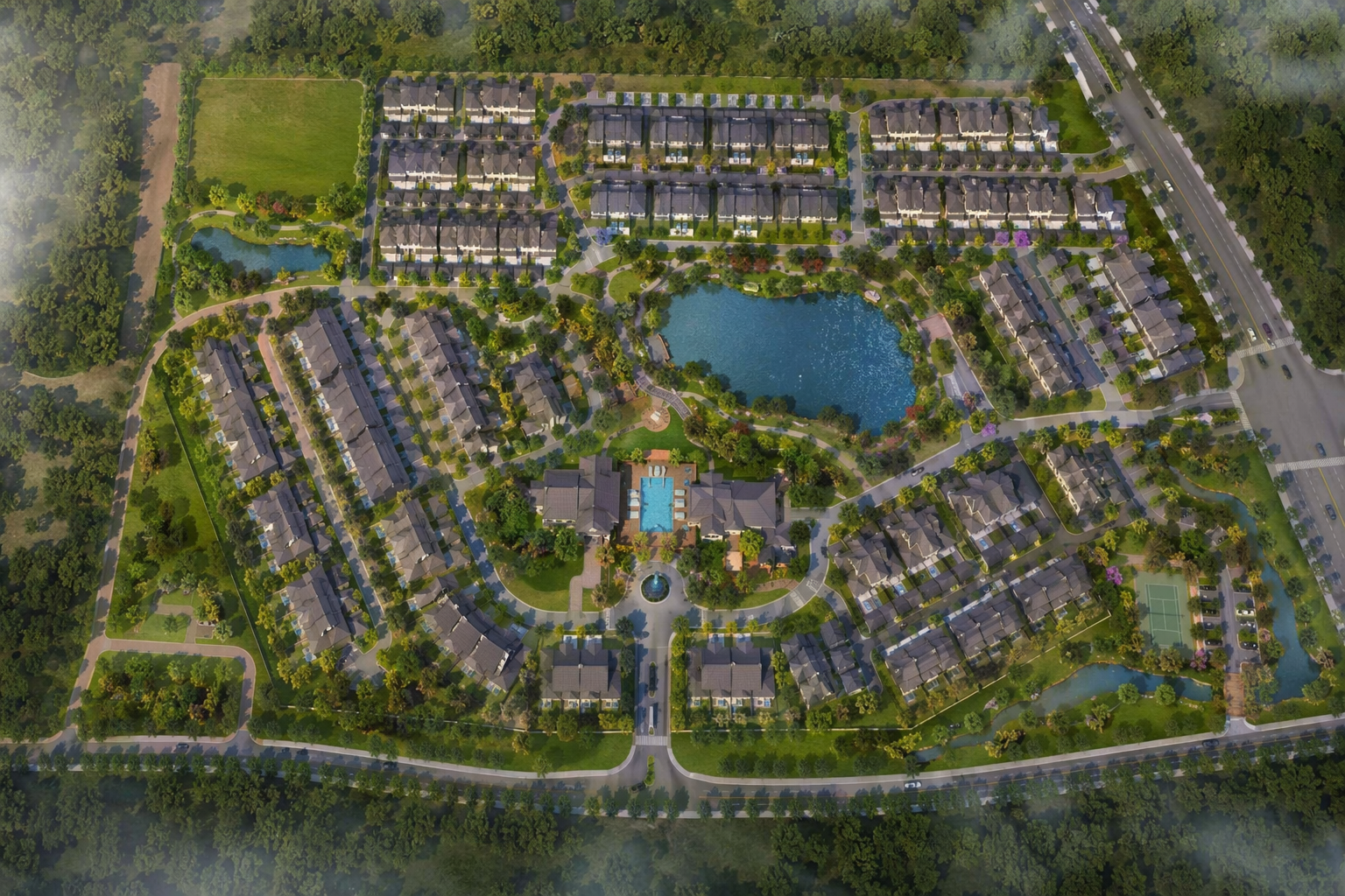
The community site plan — CAD, redline, or colored master plan.
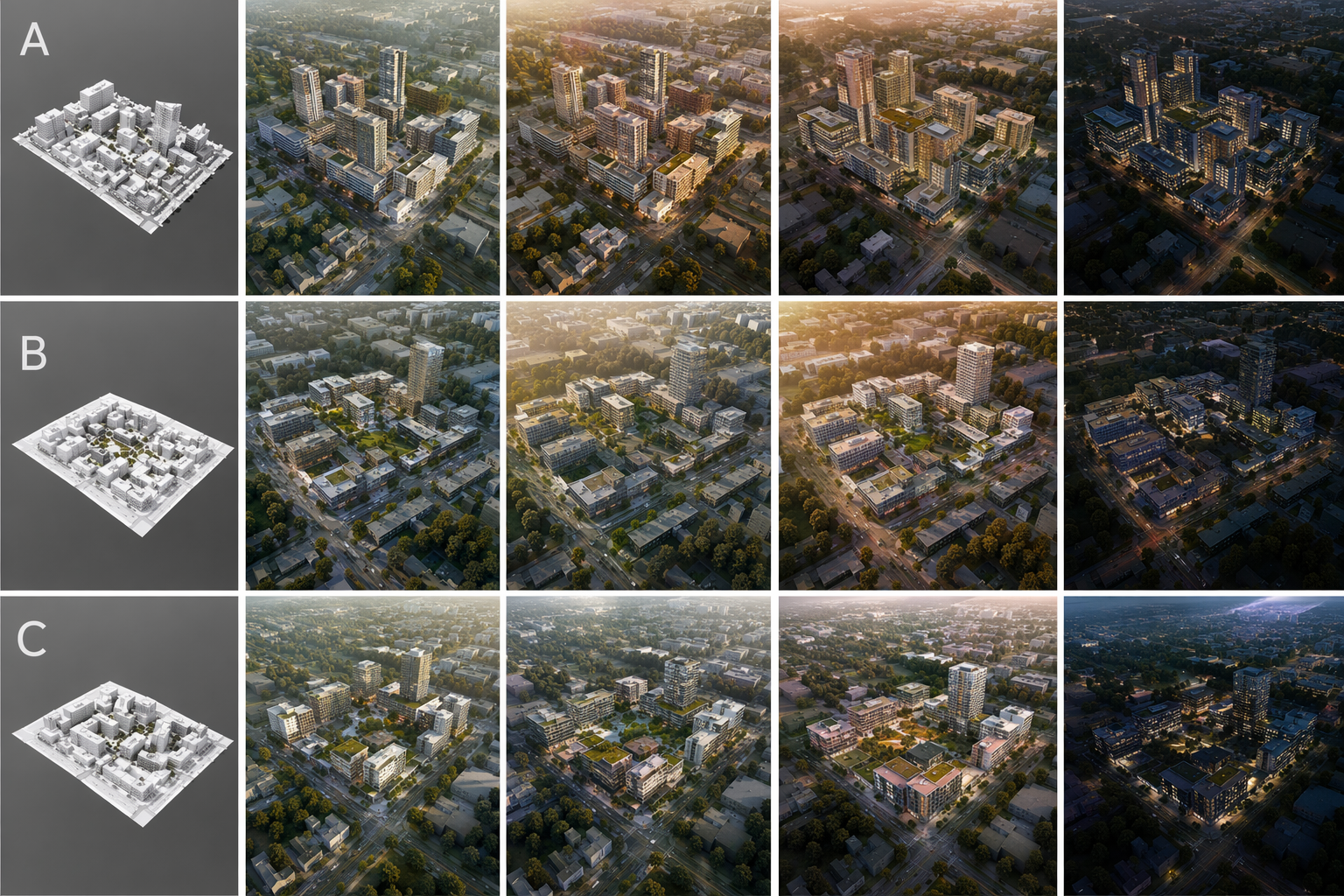
Aerial render options across time of day and density read.
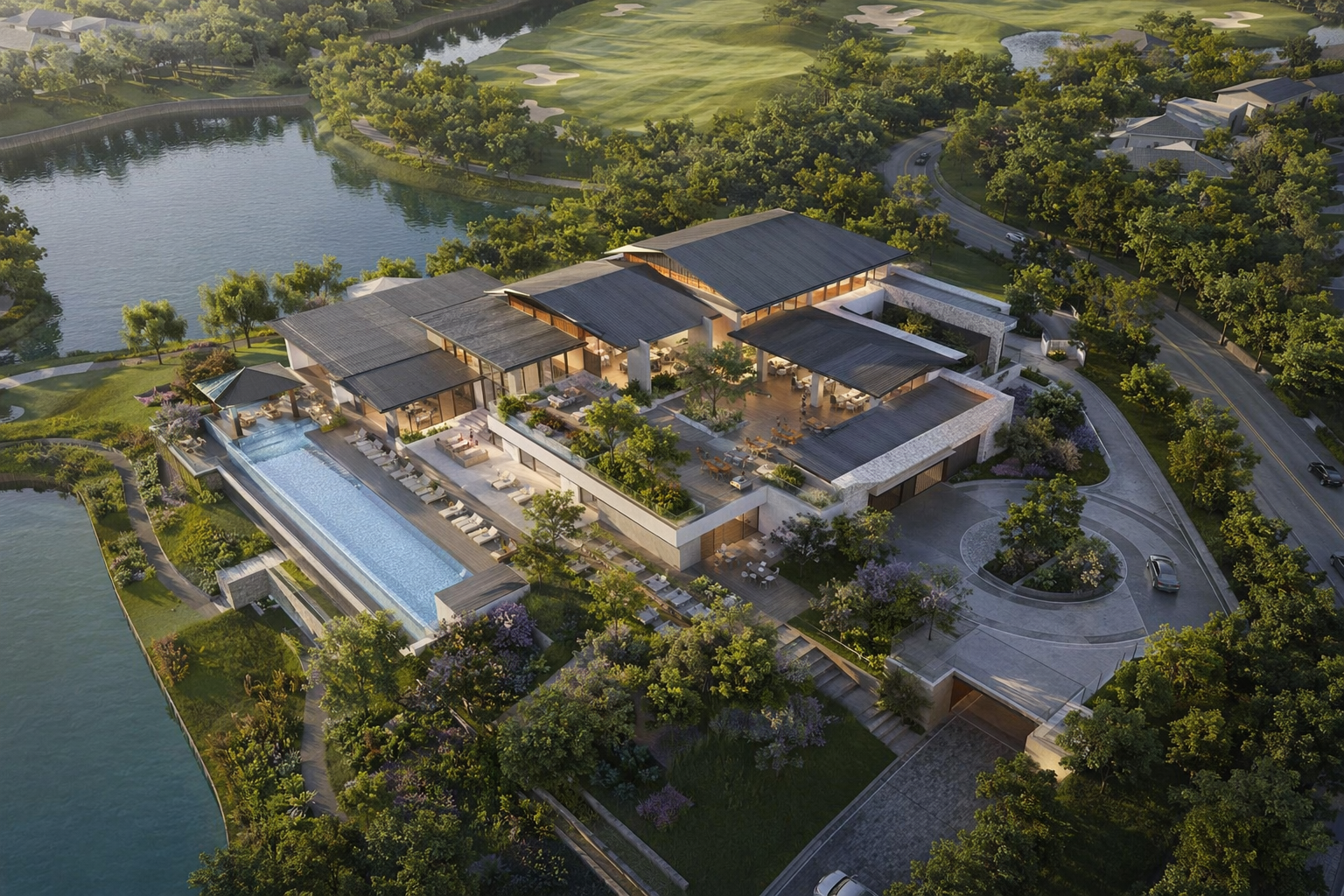
A clean aerial for the sales gallery or approval board.
See the Workflow Run
The workflow behind this solution — connected nodes you can run.
How it works
A controllable path from a residential master plan to a presentation aerial — built on PromeAI's plan-to-image, keeping your block layout, road network, and open space in place. Concept-stage visualization for communication, not a survey.
Start from the site plan
Drop in the community master plan — CAD drawing, redline, or colored plan.
Generate aerial directions
Produce aerial render options that hold the blocks, streets, and parks from your plan.
Pick and refine
Choose the read that fits the pitch and refine into a presentation aerial.
What you can put in front of buyers and boards
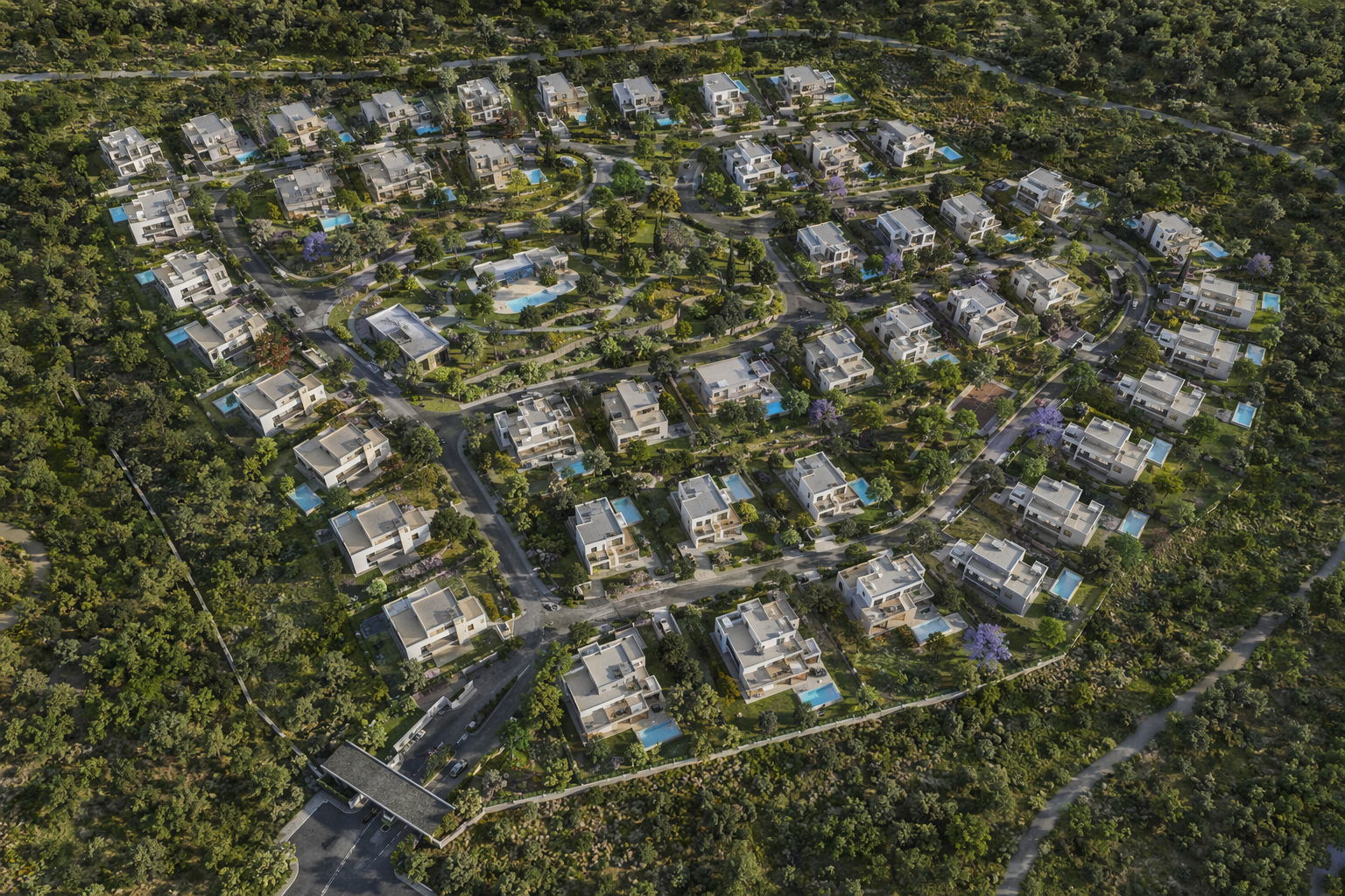
Presentation aerial
A clean bird's-eye render of the whole community.
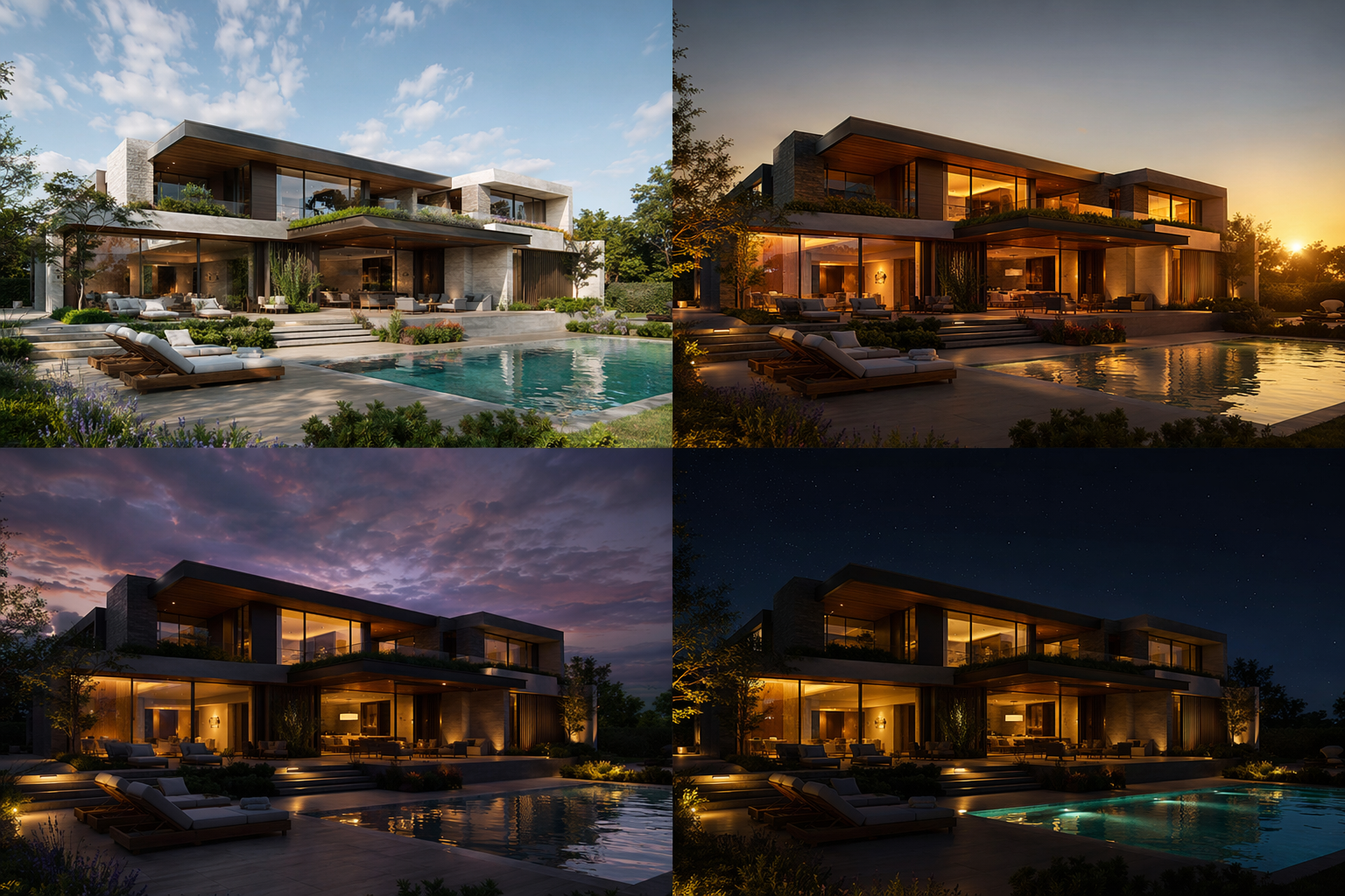
Aerial variations
A few directions across time of day and mood.
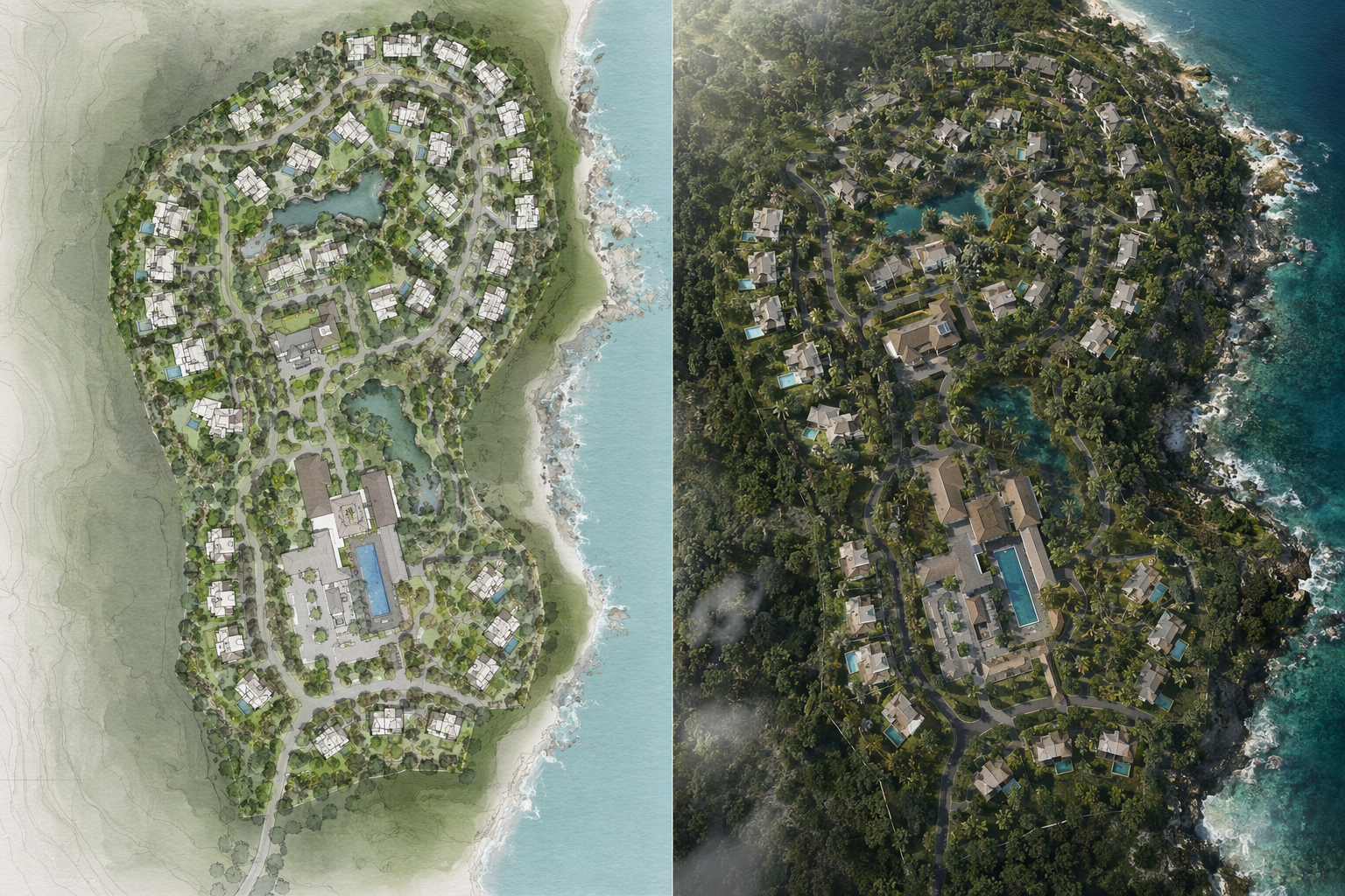
Plan + aerial pair
The master plan next to what it could look like from above.
Who this is for
Residential planners
Show a neighborhood layout the way a review board reads it.
Developers & sales
Give buyers an aerial of the community before it's built.
Landscape & site teams
Communicate open space, streets, and phasing from above.
Frequently asked questions
Show the community from above
Turn a residential master plan into a professional aerial render.
Related solutions & workflows

Technical support: [email protected]
Business collaboration: [email protected]