

Show a community what an underused park or plaza could become
Upload a photo of the existing park, plaza or open space and explore landscape directions in different planting, paths, gathering areas and lighting. The surrounding buildings, trees and context from your photo stay in place, so residents and officials recognize the real place in every option.
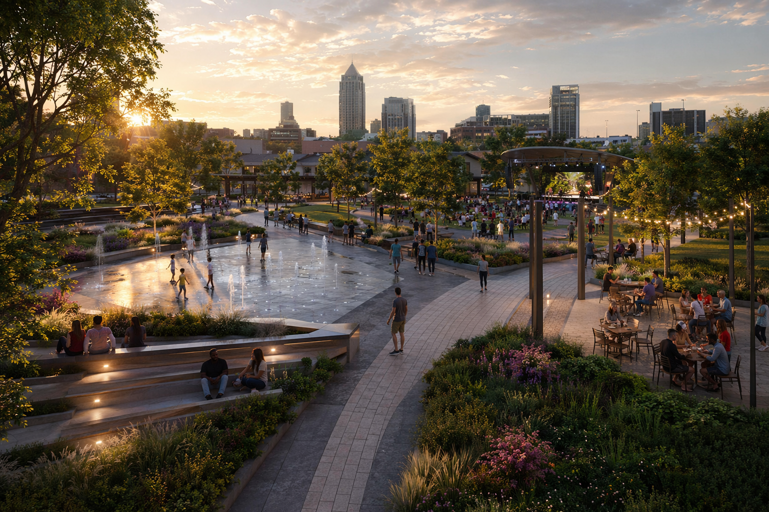
A site photo in. A landscape scheme out.
Your underused open space becomes explorable design directions, then a set you can bring to a community meeting or council review.
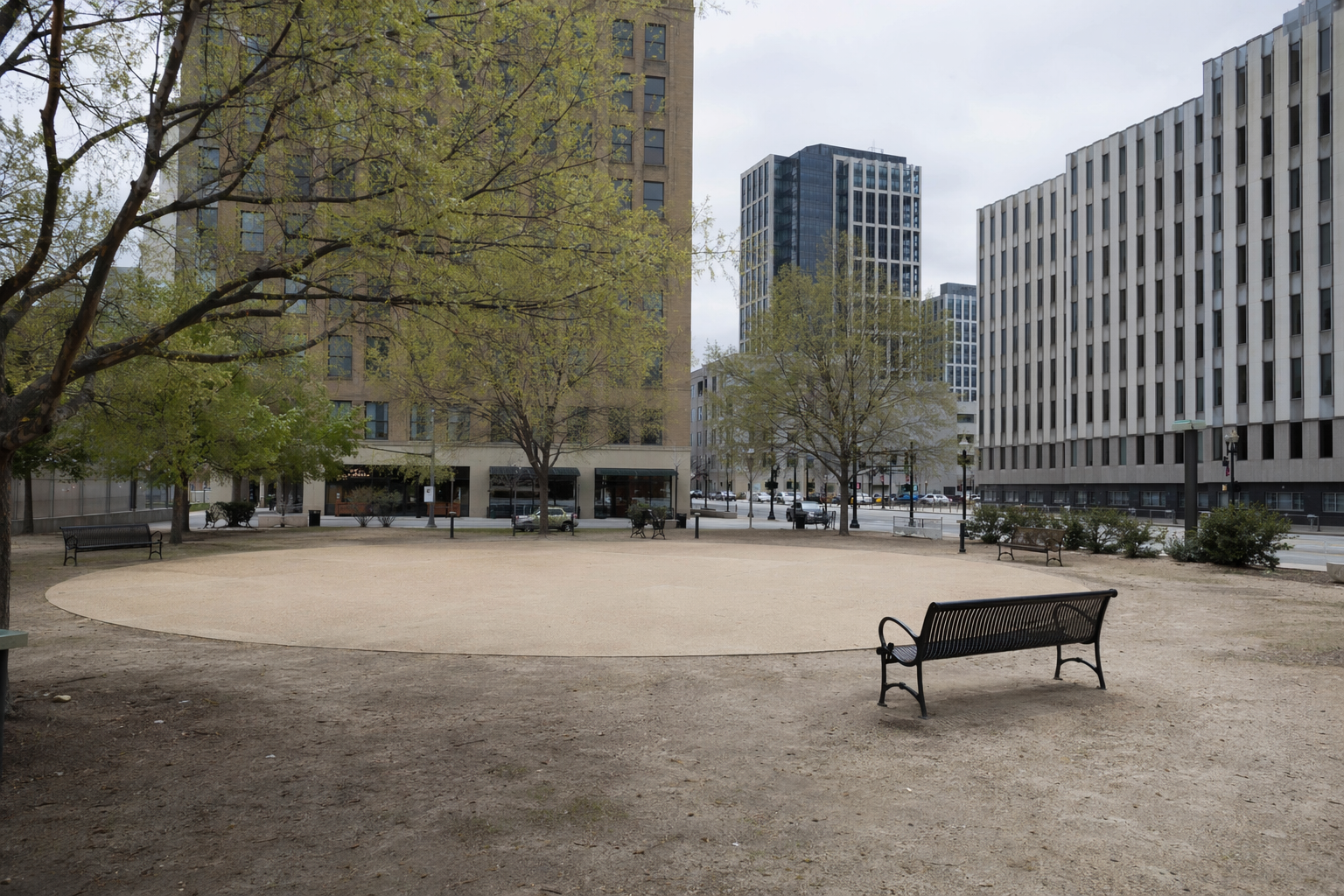
A photo of the existing park, plaza or open space.
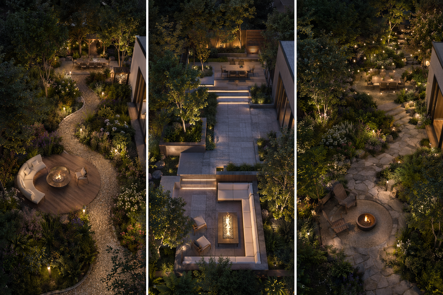
Generate options — planting, paths, gathering areas and lighting.
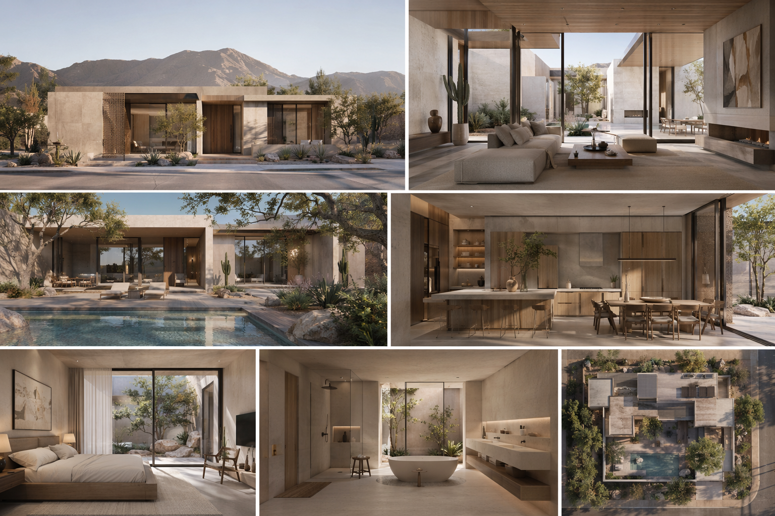
Expand the chosen direction into a consistent set of views to present.
See the Workflow Run
The workflow behind this solution — connected nodes you can run.
How it works
A controllable path from the existing open space to a set of views a community can react to — grounded in PromeAI's landscape and outdoor space design, creating or extending the public realm so the site feels complete, usable and visually consistent while keeping the surrounding context you already have.
Start from the existing space
Drop in a photo of the current park or plaza — a phone photo works. That image is the reference every option is generated from, so the surrounding buildings, trees and context stay recognizable.
Explore landscape directions
Generate options with different planting, path layouts, gathering and seating areas and lighting, so a community can compare real alternatives instead of reacting to one fixed picture.
Build the presentation set
Take the direction the community responds to into a consistent set of views — day and evening — and assemble a before/after board for the meeting.
What you bring to the community meeting
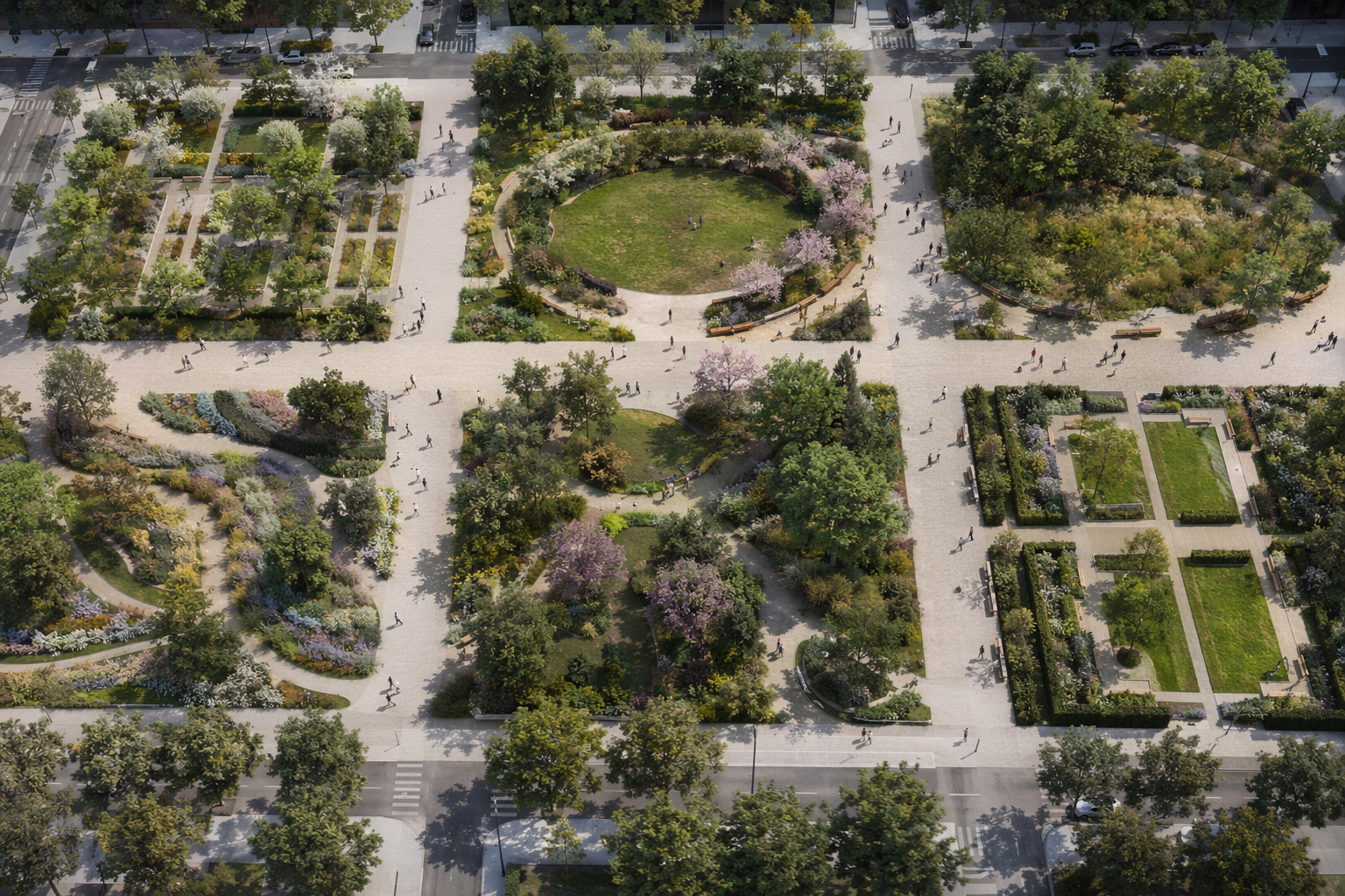
Landscape directions side by side
Several planting and layout directions on the same open space, so a community can compare and weigh in.
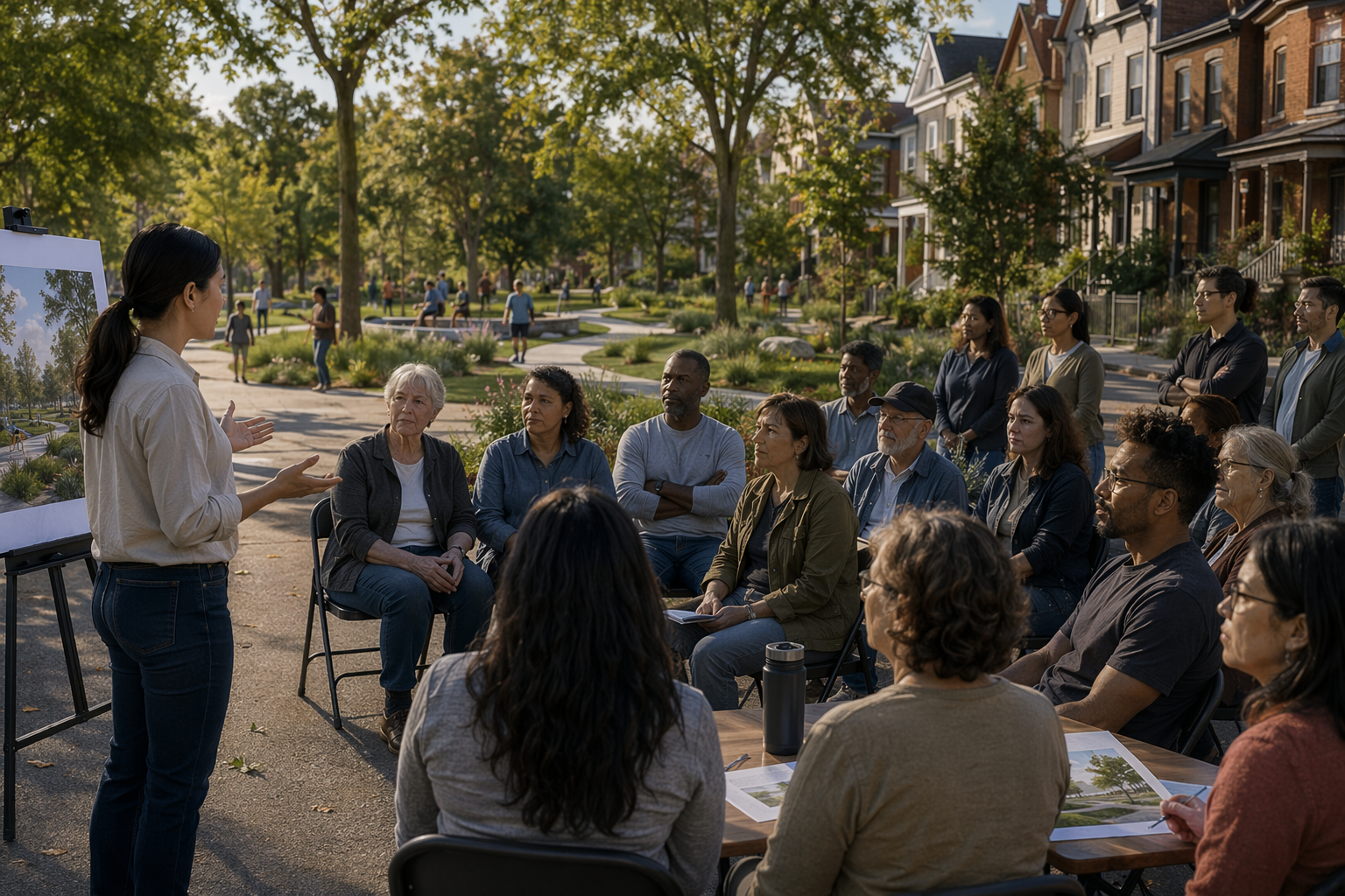
Before / after of the space
The existing photo beside the proposed park — the slide that anchors a public conversation.
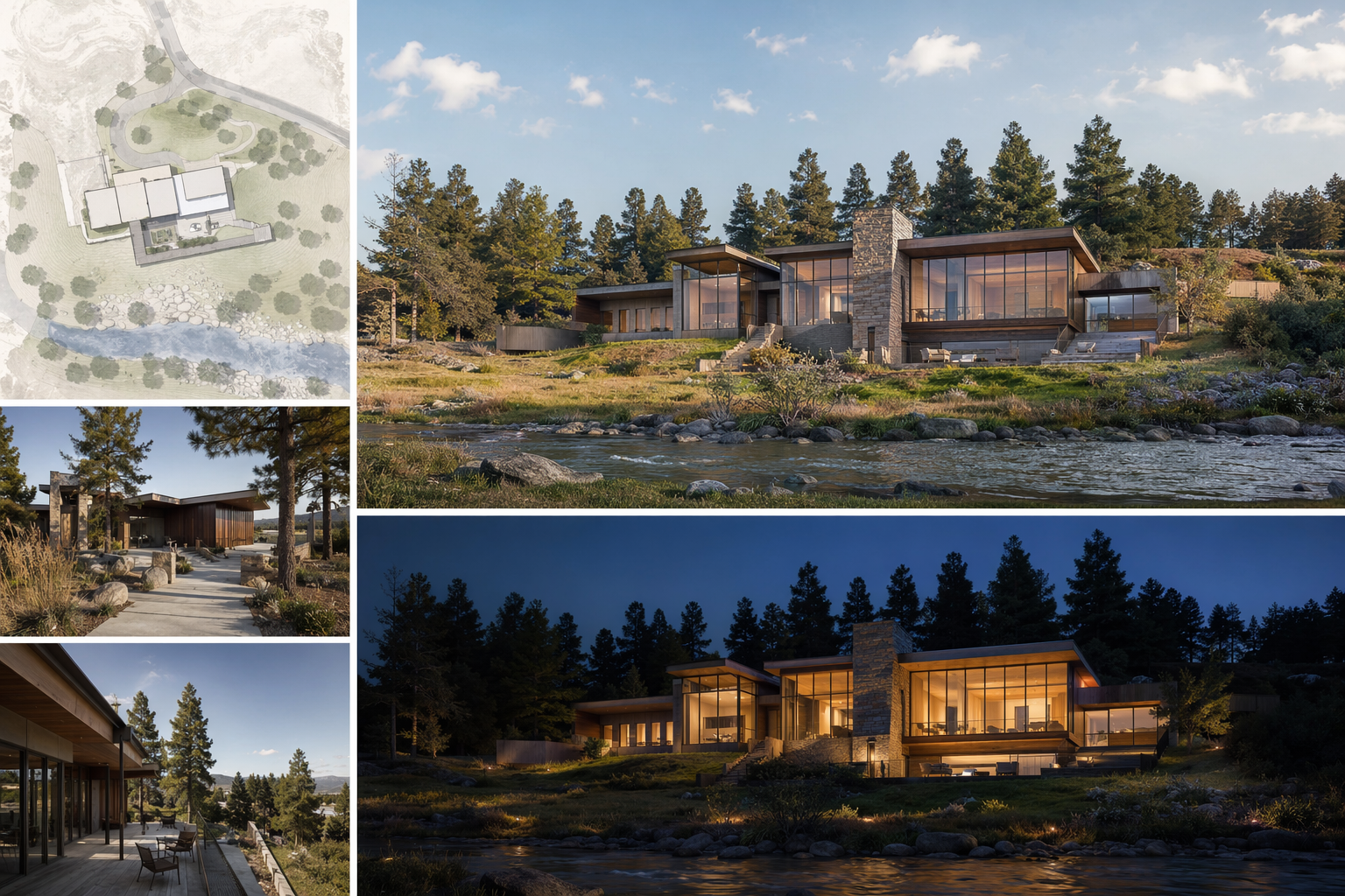
Presentation board
A layout-ready board pairing the chosen direction with day and evening views.
Who this is for
Parks & public-realm departments
Give residents recognizable options to react to before committing public budget to a redesign.
Urban & landscape designers
Explore park and plaza directions on the real site without rendering each one by hand.
Community & civic stakeholders
See how a proposed open space would read in its actual surroundings before decisions are made.
Frequently asked questions
Try it on your park or plaza photo
Generate landscape directions and walk into the community meeting with options, not one fixed render.
Related solutions & workflows

Technical support: [email protected]
Business collaboration: [email protected]